Day 4 in the “land of fire ad ice”: Fjords in East Iceland and the Myvatn region, including lots of geothermal and volcanic attractions. And daylight for 24 hours – almost midnight sun.
Anzeige*
| Destination | Iceland, Ring Road and Road no. 939 (Öxi Pass) from Hofn to Lake Myvatn |
| Where I stayed / Recommendations | We stayed at the “Hotel Gigur by Keahotels“, directly located on the Lake Myvatn, providing great views of the lake from the dining room as well as from our room (however, there are rooms to the other side as well). The rooms do have ensuite bathrooms – a real rarity in the price area of 150 Euros per night! OK, the water smells a bit like sulfur, but I think that comes with the area. Still – thumbs up! Probably the best place in the area. |
| Restaurants | Restaurant at the Hotel Gigur: very good food, decetnly prices, and an unbeatable view |
| Things to do and see | East Coast: Sit on the red Chair Namafjall geothermal area: nice to see, but smelly Grjótagjá: the famous Game of Thrones “Love Cave” of Ygritte and Jon Snow Hverfjall (also known as Hverfell): a tephra crater, easy to climb Dimmuborgir Lava field: a labyrinth of lava formations Myvatn Nature Bath: not as famous as the “Blue Lagoon”, but with a nicer view and more moderate prices |
| Recommendations in a nutshell | Lots of attractions around the Myvatn – certainly worth more than just one day, if you can afford to stay longer |
East Iceland – Austurland
Our fourth day started with a lot of driving: we were supposed to get from somewhere west of Hofn to the Myvatn Lake, which amounts to roughly 400 km. And we wanted to arrive in the early afternoon to have time for the numerous attractions in the Myvatn area. Thus, we were quite happy to leave the dreadful Vagnstadir Hostel, where we stayed the night before (see my post of Iceland – Day 3), early and without breakfast. Instead we stopped at Hofn and got a nice breakfast half an hour later.
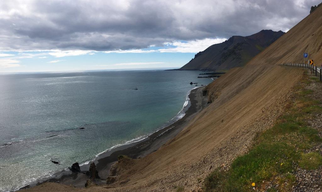
From there the ring road meanders around Icelands east coast. East Iceland, also called Austurland, reaches Langanes in the north to Krossanesfjall in the South. In this region you’ll find deep and narrow fjords, as well as the beautiful mountains and highlands. And even if you don’t leave the ring road, you’ll still get the spirit of this amazing landscape:
We particularly liked one spot a few kilometers ahead of the small village of Djupivogur, exhibiting a kind of geothermal activity:
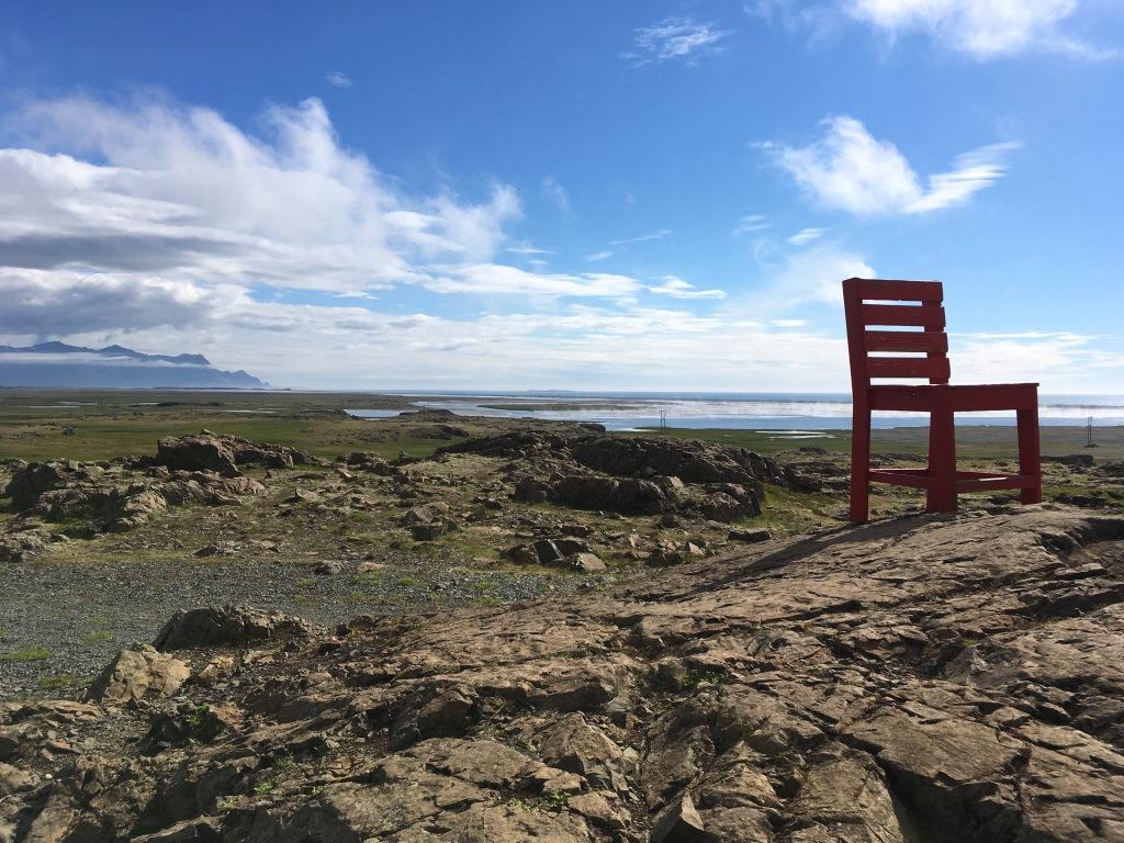
And there, next to the ring road – you can’t miss it, stands a red chair. It’s fix to the rocks beneath and thus safe to be used as “postcard motive”:
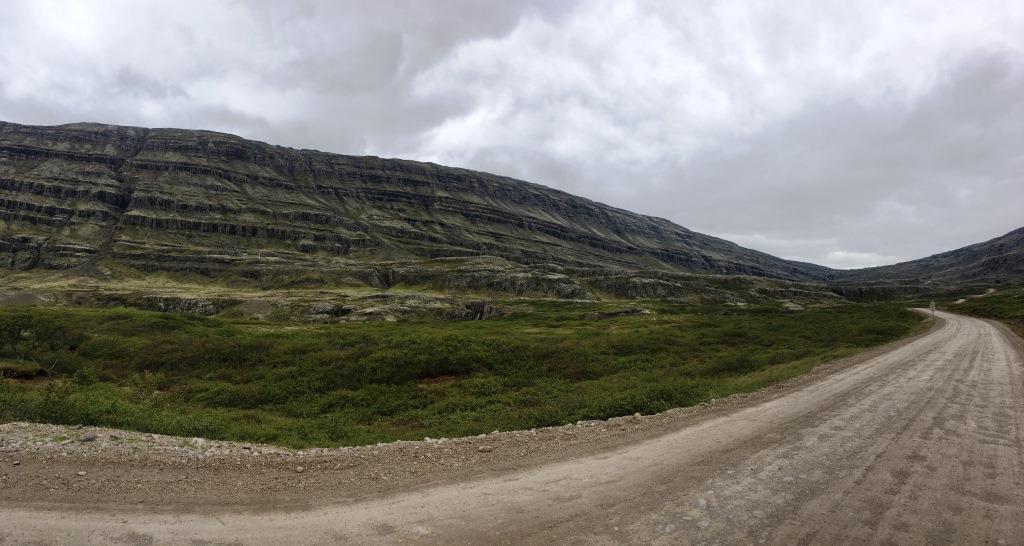
Djupivogur is located at the entrance of a deep fjord, and at the end of this fjord you can chose either to follow the ring road completely around the fjord, or take a shortcut. This shortcut, road no. 939, is a gravel road, but easy to drive on, and crosses the mountains via the
Öxi Pass:
You will pass a nice waterfall, the Öxifell:
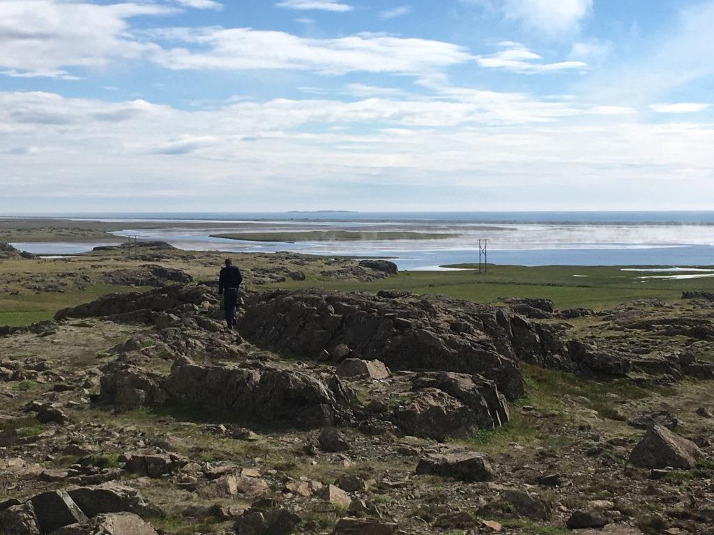
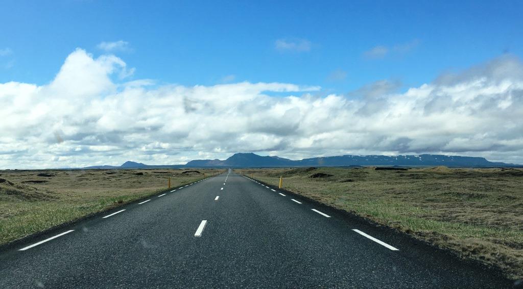
…and travel through a secluded landscape. After about 10 km, you’ll hit first road no. 95, which you follow to Egilsstadir. There you’ll meet the ring road again. From Egilsstadir it’s about two more hours to the Myvatn Lake area, leading through many different landscapes, like this one:
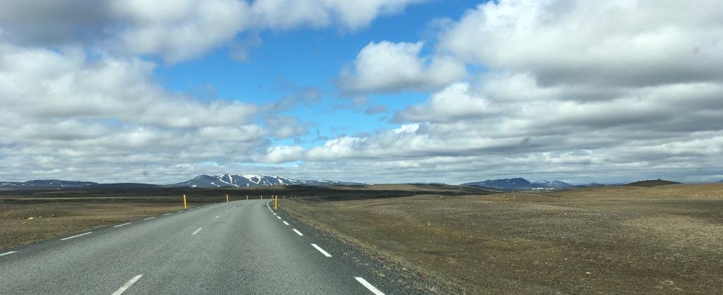
or this one:
On our way, we passed lots of smaller or bigger stone piles or “cairns”:
The original cairns are thought to be made by Vikings during their explorations of Iceland. The cairns were supposed to serve as landmarks to guard the way. Nowadays, this is not really necessary any more, but still there are lots of stone piles everywhere in the landscape. Mostly, they are arranged in a straight row and look quite pretty.
Lake Myvatn region
The closer you get to Myvatn, the more “volcanic” it looks like.
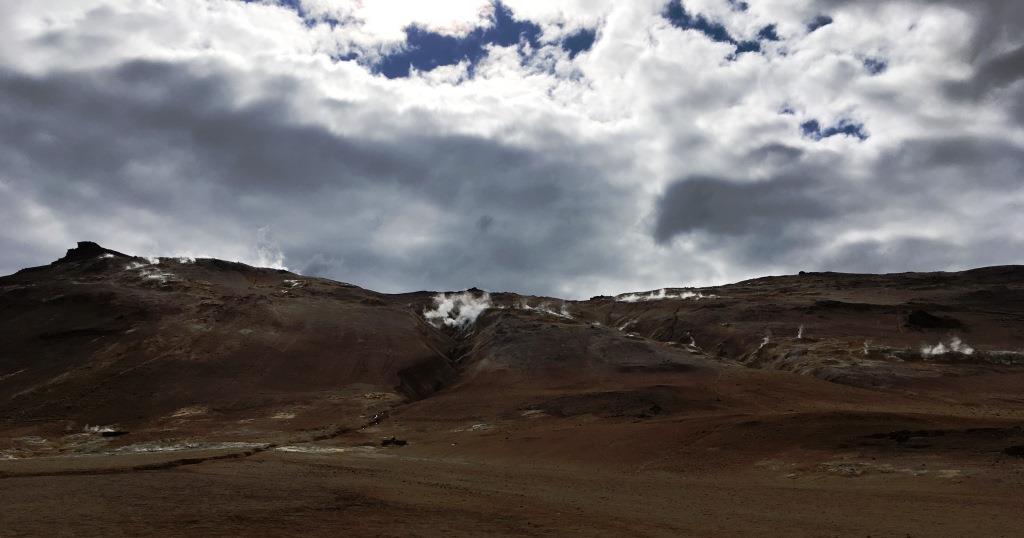
Finally, just ahead of Myvatn, you will pass the Namafjall geothermal area:
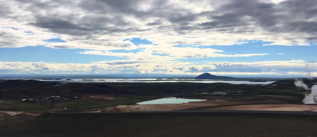
And after passing the Namafjell mountain, you’ll get a great panorama of the entire region:
Which we first left unvisited in order to check in at our hotel and come back later.
Namafjall geothermal Area
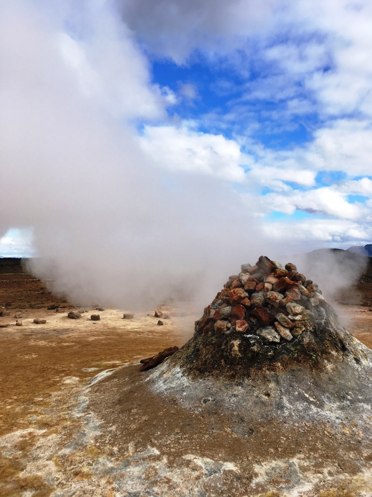
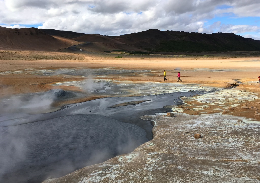
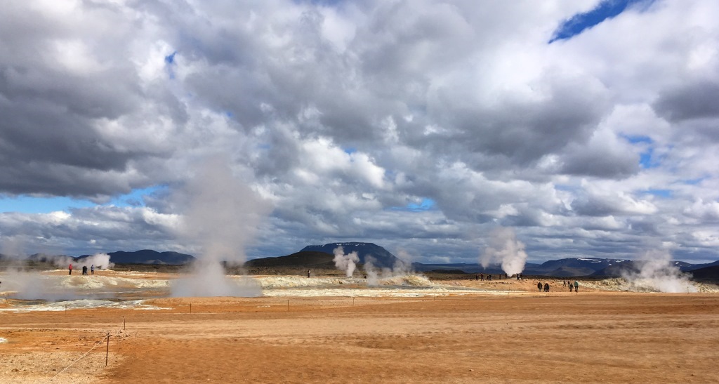
The Namafjall geothermal area, also known as Hverir, features lots of smoking fumaroles…
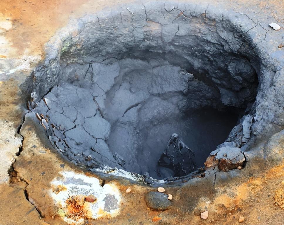
… and boiling mud pots…
in many different colors:
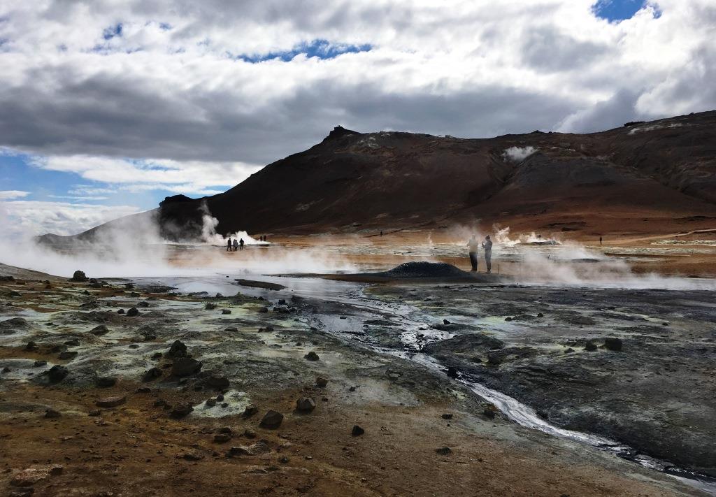
The hydrogen sulphide dips the entire area into an overwhelmingly disgusting smell of egg combined with other odors. Smoke comes out of the ground everywhere:
Which is quite picturesque…
…if you neglect the smell:
Grjotagja Thermal Spring
After the supposedly “olfactorial highlight of the day” (we did not yet know about Myvatn Nature Bath…), we went to see a famous “Game of Thrones” film setting: the Grjotagja Thermal Spring. A path goes from Dimmuborgir (see below) to Grjótagjá thermal spring, but there’s also a car park in front of the cave entrance, so it’s easy to access.
The cave and the spring within look spectacular in the TV series, but in reality it’s a bit less overwhelming. Because it is really small. The entire cave is maybe 20 meters by 5 meters in size. You can climb in via two narrow entrances, and then climb down a few rocks that lie on the “shore”. But that’s it. OK, the water is REALLY blue and hot (in fact, a bit too hot for bathing), and it looks really nice:
Grjótagjá has been nicknamed “Love Cave” as it was the place where Ygritte and Jon Snow from the “Game of Thrones” series supposedly made love for the first time. But due to the fact that the water of the real cave is very hot and very clear (which would have shown “everything” of both actors), an exact replica of the cave was built in the Belfast production studios of “Game of Thrones”. The shooting was then divided: some scenes were shot at Grjótagjá, but the “water scenes” were shot in Ireland. Finally: Grjótagjá is private property and it is forbidden to bathe in it – but th wateer is too hot, anyway. If you would like to read more about Grjotagja: https://guidetoiceland.is/travel-iceland/drive/grjotagja
Hverfjall Crater
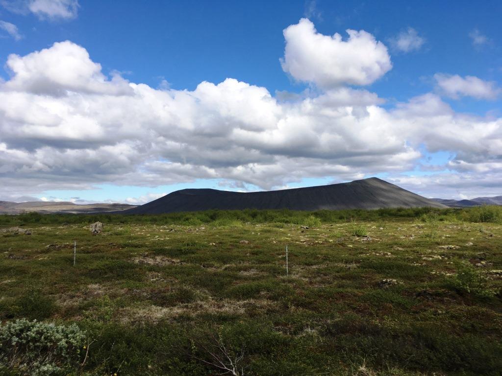
Next on our “list of must-sees of the day”, and conveniently located just next to Grjotagja: the Hverfjall Crater…
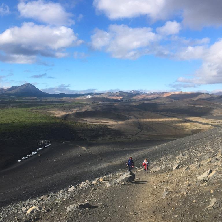
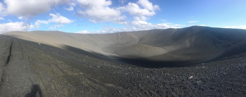
…a scraggy, lunar landscape. Hverfjall (also known as Hverfell) is a tephra cone or tuff ring volcano, located east of the Mývatn lake. Tephra, the Greek word for ash, is a generic term for any airborne pyroclastic accumulation. In this case, the material is loose and varies in size between sand and pebbles. The crater is approx. 1 km in diameter and was generated around 4.500 years ago. Hverfjall is easily accessible by car. There are two paths leading uphill to the crater rim, one starting just next to the car park.
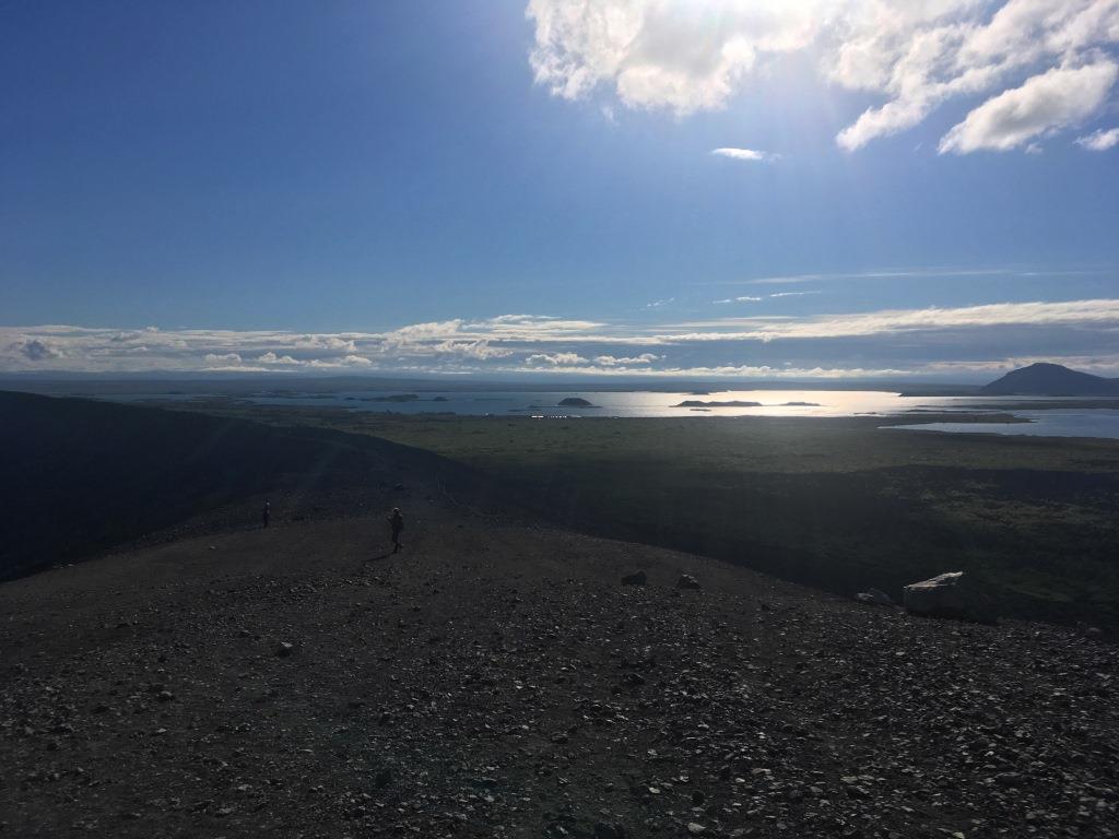
It is not overly steep and easy to climb. On top, we were rewarded with a great view of the entire Myvatn area:
..and into the crater:
Dimmuborgir Lava field
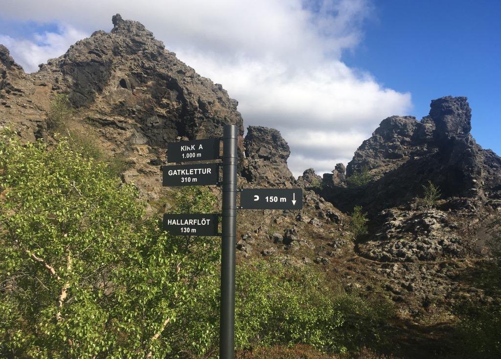
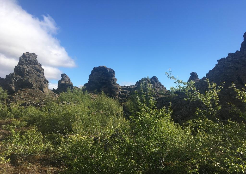
Right next to Hverfjall is a huge Lava field: Dimmuborgir. This is a pretty fresh lava field, dating about 2.300 years back. The lava formations cover a huge area, and once you’re in the “system” it is pretty easy to get lost – as many of the lava formations look quite similar.
However, there are paved walkways and hiking trails that lead you through the area in either 15 minutes or up to several hours.
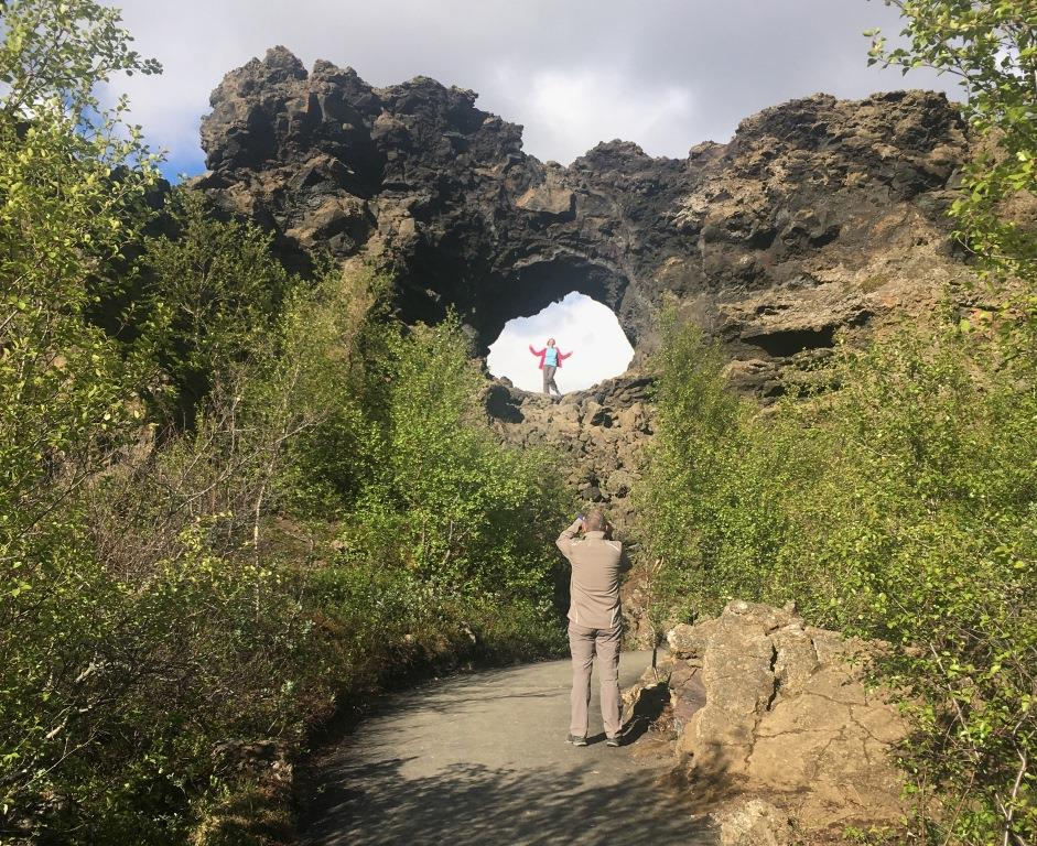
We opted for an “in between” and stayed about an hour, thereby passing one of the landmarks, a picturesque “stone arch” which is constantly used a photo background:
Anyway, this is a really nice area to get in touch with the omnipresent lava formations.
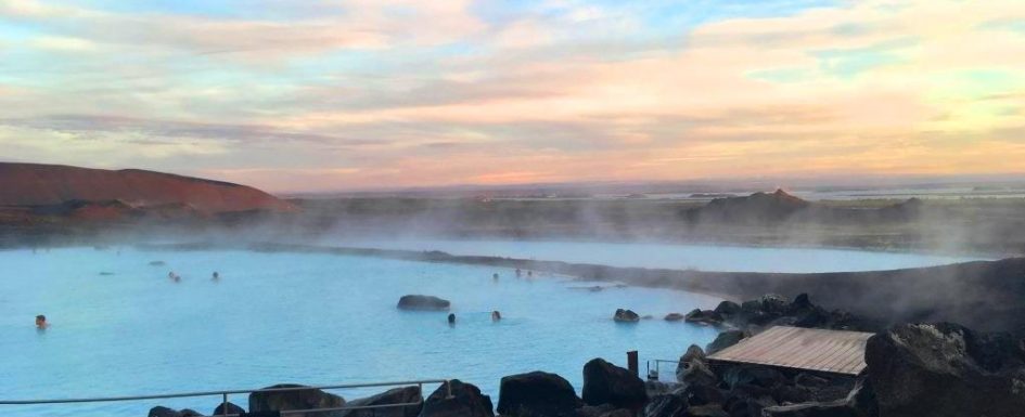
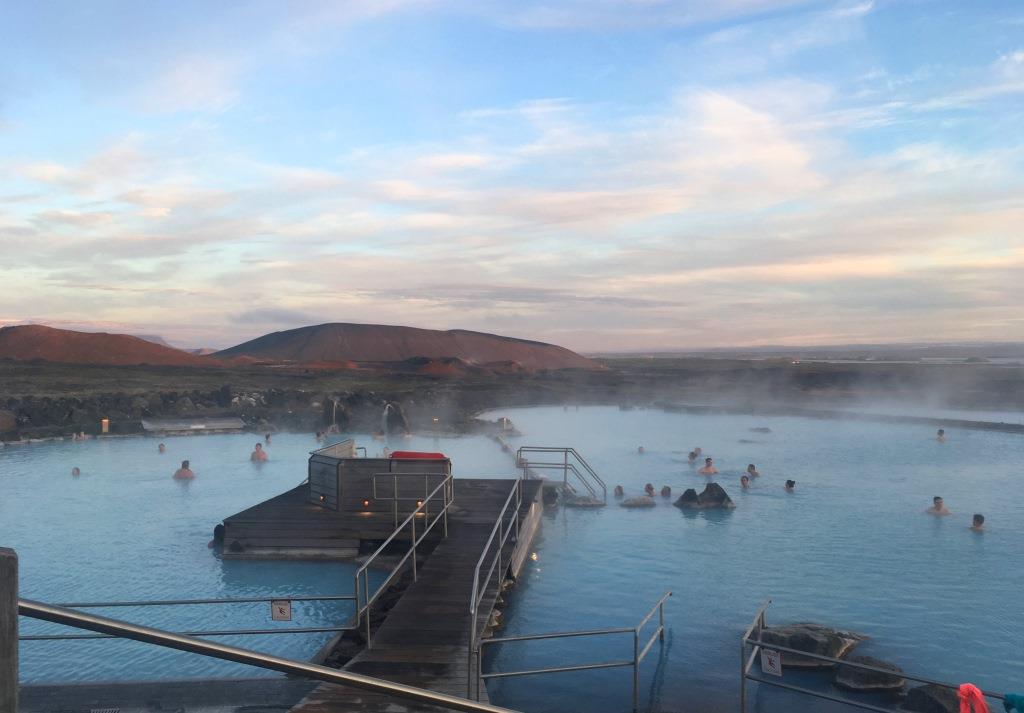
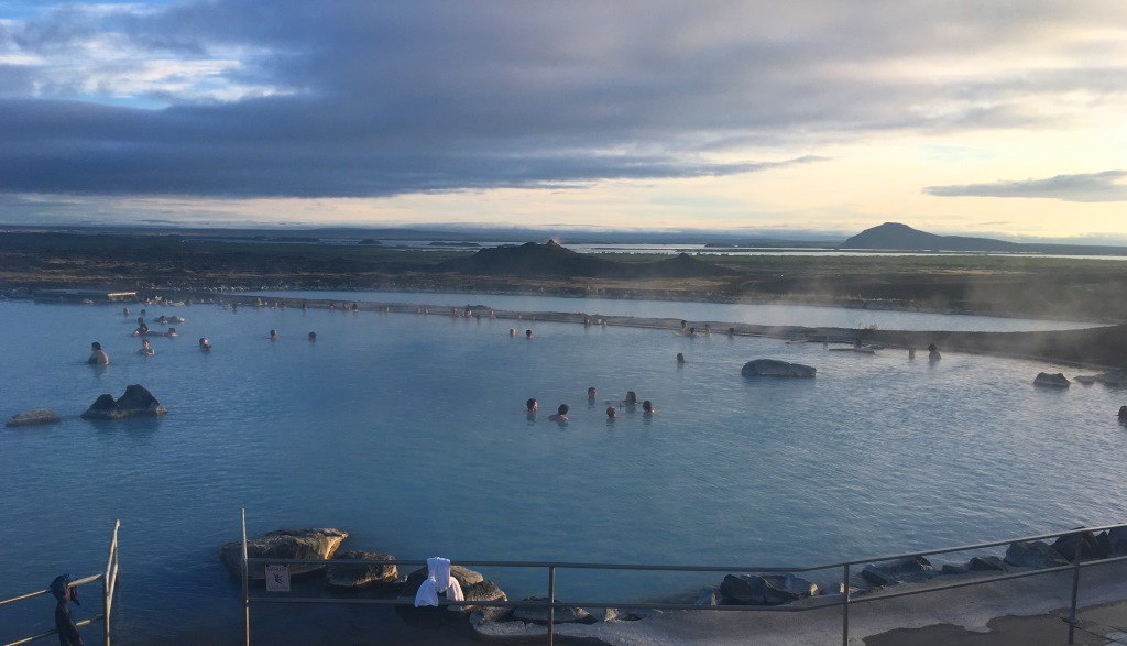
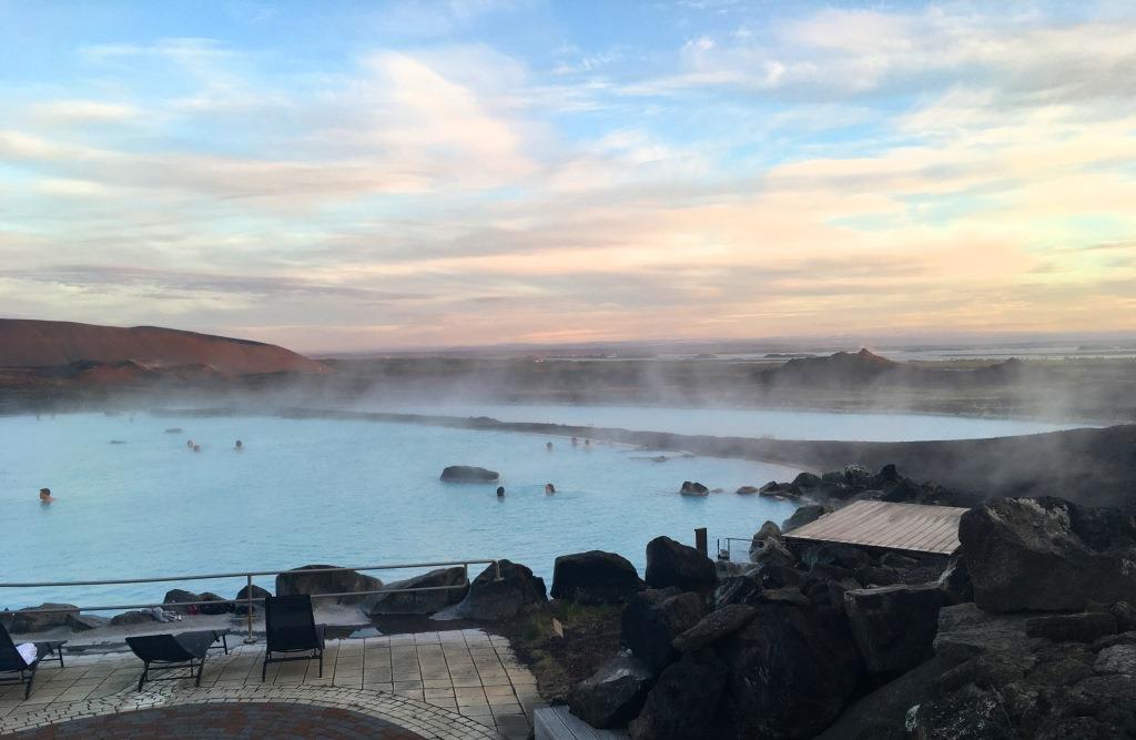
Our final highlight of the day was supposed to be the Myvatn Nature Bath, and we decided to leave it for after dinner, as the bath is open until midnight during the summer months. Myvatn Nature Bath might not be as famous as the sister “Blue Lagoon”, but offers the nicer view of the mountains close by:
… and the Myvatn lake:
…combined with a bit more moderate prices. The lagoon itself is man-made, the bottom of the basins covered with sand and gravel. However, the water comes directly from the National Power Company´s bore hole in Bjarnarflag, with a temperature of about 130°C when it arrives to the huge storage basin beside the lagoon. The water temperature of the lagoon itself varies a bit, but is mostly around 36 – 40°C. Altogether, the lagoon and the basin contain around 3.5 million liters of water.
The water contains a large amount of minerals, is alkaline and leaves a strange kind of “coat” on the skin. And it smells!! We finally decided to stay in the windward side (on the left of this picture):
which seemed a bit less smelly. Due to the sulfur content of the water, it is not advisable to wear any silver jewelry, as it turns black pretty fast.
Midnight Sun
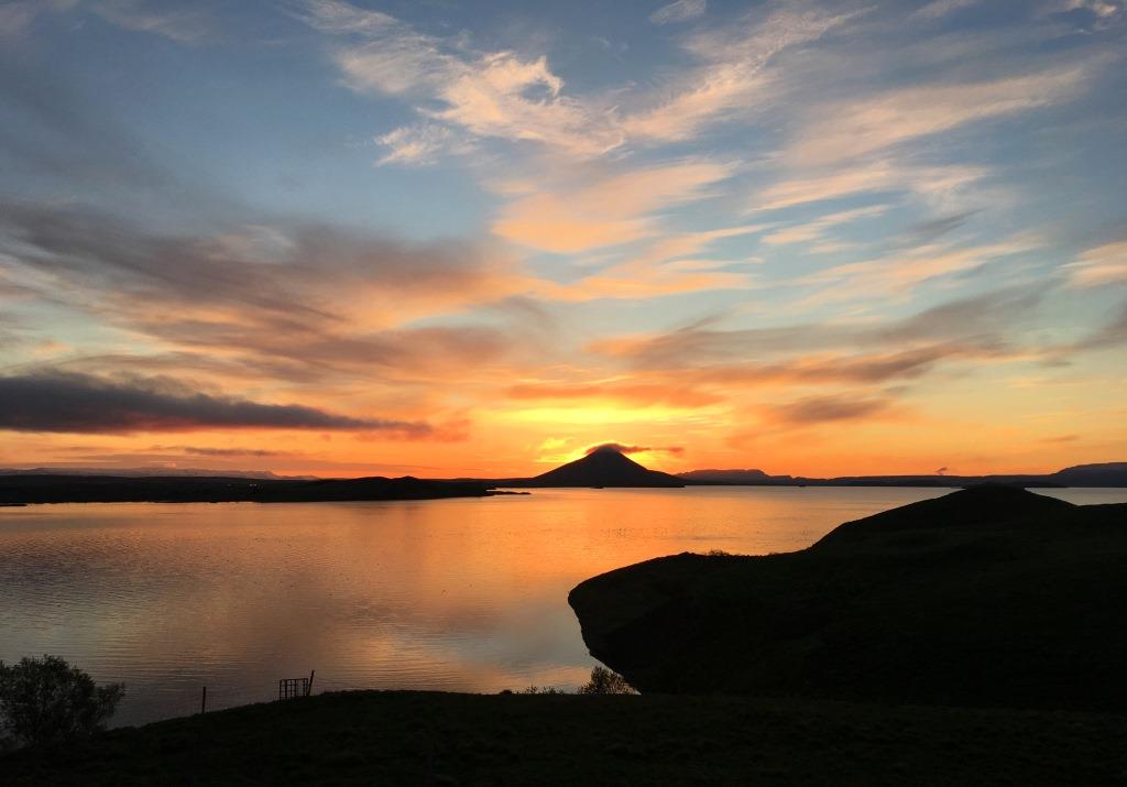
At half past eleven, we finally left the bath and went back to the Hotel Gigur, where we could enjoy – well, not really the midnight sun, as we were still south of the Arctic cycle, but at least daylight at midnight:
Iceland is the land of the midnight sun. In most parts of the country it will not get dark at night from May 21 until July 30, as the sun barely sets in summer. Around the summer solstice (June 21st), the sun is visible for the full 24 hours in the Westfjords and North Iceland, but not here in the Myvatn region. Still, it feels like midnight sun.
The Midnight sun is one of the things that most travelers from Europe or the US find absolutely fascinating. The never-ending days give you the opportunity to stay outside as long as you want – but don’t forget to bring warm clothes! Although it does not get dark, it gets COLD! And cold means temperatures just barely above zero degree. However, the colors between late afternoon and early morning are fantastic! Everything gets a kind of “golden touch” – the green gets greener and the blue even deeper. It is a great time to take pictures!
Greetings from Eastern Iceland!
Read more about Iceland:
*According to a German Court decision, all texts containing links to commercial pages (e.g. links to Tripadvisor, Airline, hotel or restaurant websites) have to be identified as “commercial” (in German “Anzeige”). As my texts do contain links like that, I therefore identify each post and page containing a link as “Anzeige”. However (and referring to the “About Me” page) I would like to point out that I do NOT post any sponsored content in my texts; I pay for all my trips myself.












1 Comment